Castellón Mapathon 2018

Nov 22
- posted by Geotech Master
- in Sin categoría
- 0 Comments
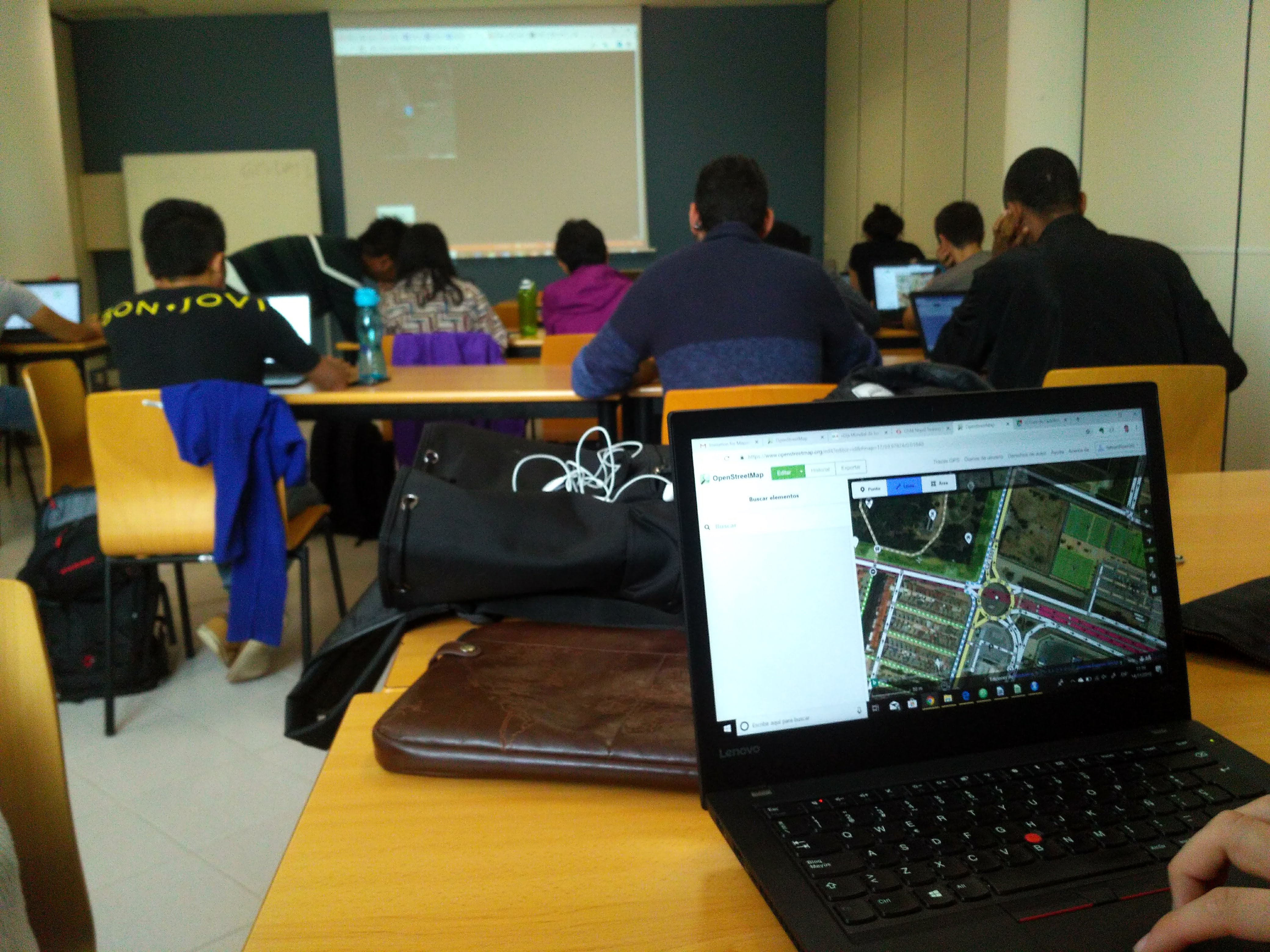
This World GIS Day, 20 volunteers of University Jaume I participated in “Make Castellon Data Better Mapathon” held at University Jaume to increase the quality of OpenStreetMap in Castellon. The aim of the mapathon was to validate OpenStreetMap road features of Castellon Municipality and mark important features needed during or after disaster occurrence which was organized by me and my supervisor Andres Munoz. It was also used as a data validation process for my project entitled “Data validation and Quality Assessment of VGI Road Network of Castellon for Emergency Evacuation Route Planning” for my Master’s thesis.
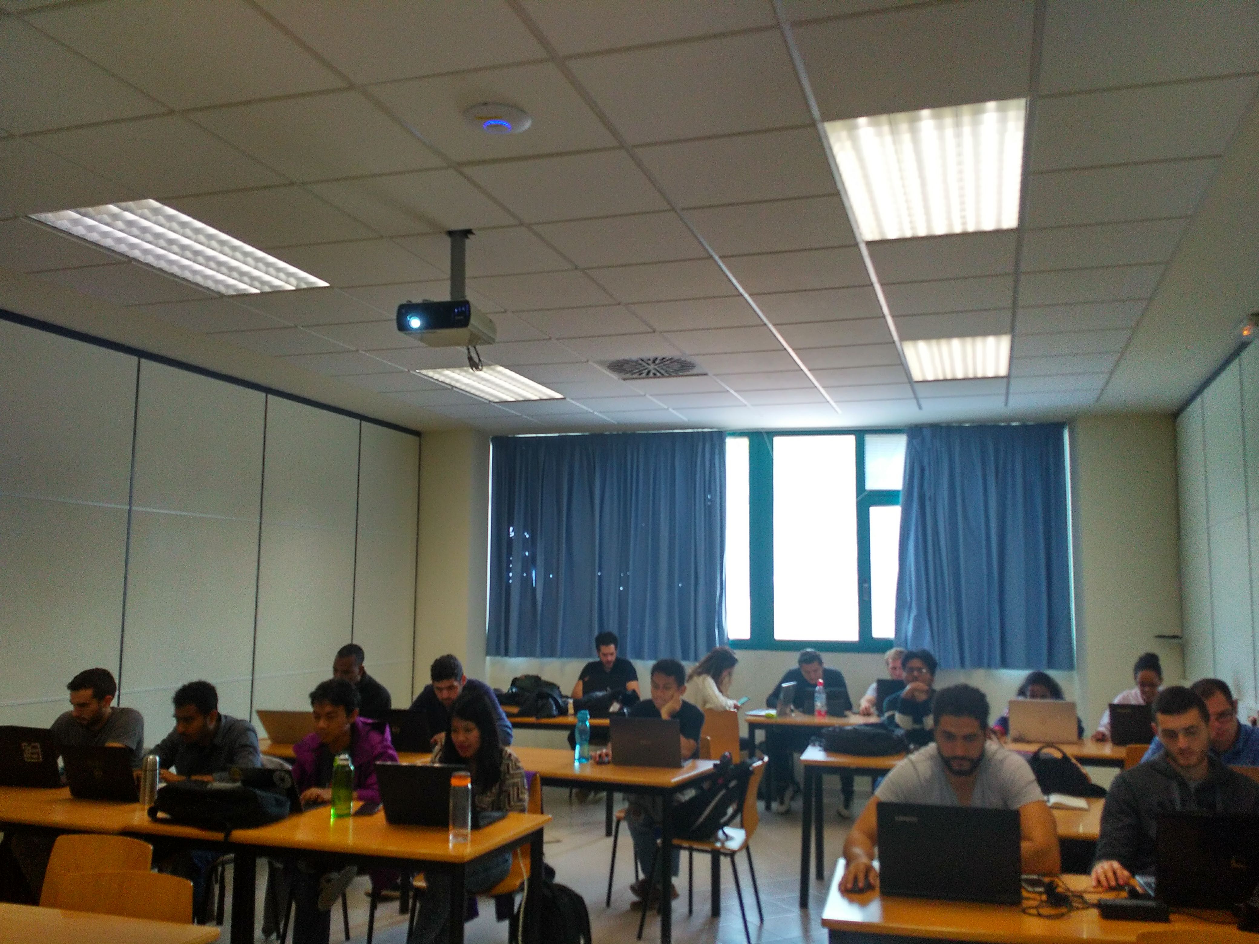
Volunteers were gathered with the help of email and personal contact and were asked to register before the mapathon. Volunteers were also requested to watch the introductory videos on the concepts of the editing in OpenStreetMap using Id Editor. Castellon municipality area was selected for mapathon where the task of the mapathon was created here. The Mapathon was conducted for one and half hour starting from 10:00 am in the morning where I gave a short introductory presentation about the mapathon and the way to validate the roads and add missing features. Afterward, the volunteers were asked to start mapping where volunteers map Castellon for one hour. A unique id called #CastellonMapping was used to locate the edits done during the mapathon.
Most of the volunteers participated in this mapathon were students of Erasmus Mundus Master in Geospatial Technologies and every volunteer had a background of Geoinformatics. Out of 20 participants, everyone had an idea about OSM and 5 of them have already contributed to OSM before. Among the Volunteers, the number of female participants was by 25%. The OpenStreetMap of Castellon is almost completely mapped but there exists some errors and validation of the data was an important step to carry out. Therefore this mapathon was organized so that the volunteers can use their local knowledge and validate the area around them. Out of 20 participants most of them were new to the city and had few experience in the area, however, they produced good results in mapping bicycles tracks and the university area. They also mapped the area around their residence and famous areas of Castellon such as Park Ribalta, Grau and the city center. As the task was to validate line features especially road, there were some significant results in road turn and one-way restrictions.
During the mapathon, volunteers made 203 edits in that time period where it consisted of 43 new buildings, few point features and rest of the edits were line features. Throughout the Mapathon volunteers also had a comparison of their contribution using OSMfight tool which made the mapathon more entertaining and competitive. Volunteers were encouraged to contribute to OSM and the real-time result was shown using Show me the Way. The changes done during the mapathon was seen through OSMCha and OSM Kartoza using various filters like mapping date and area.
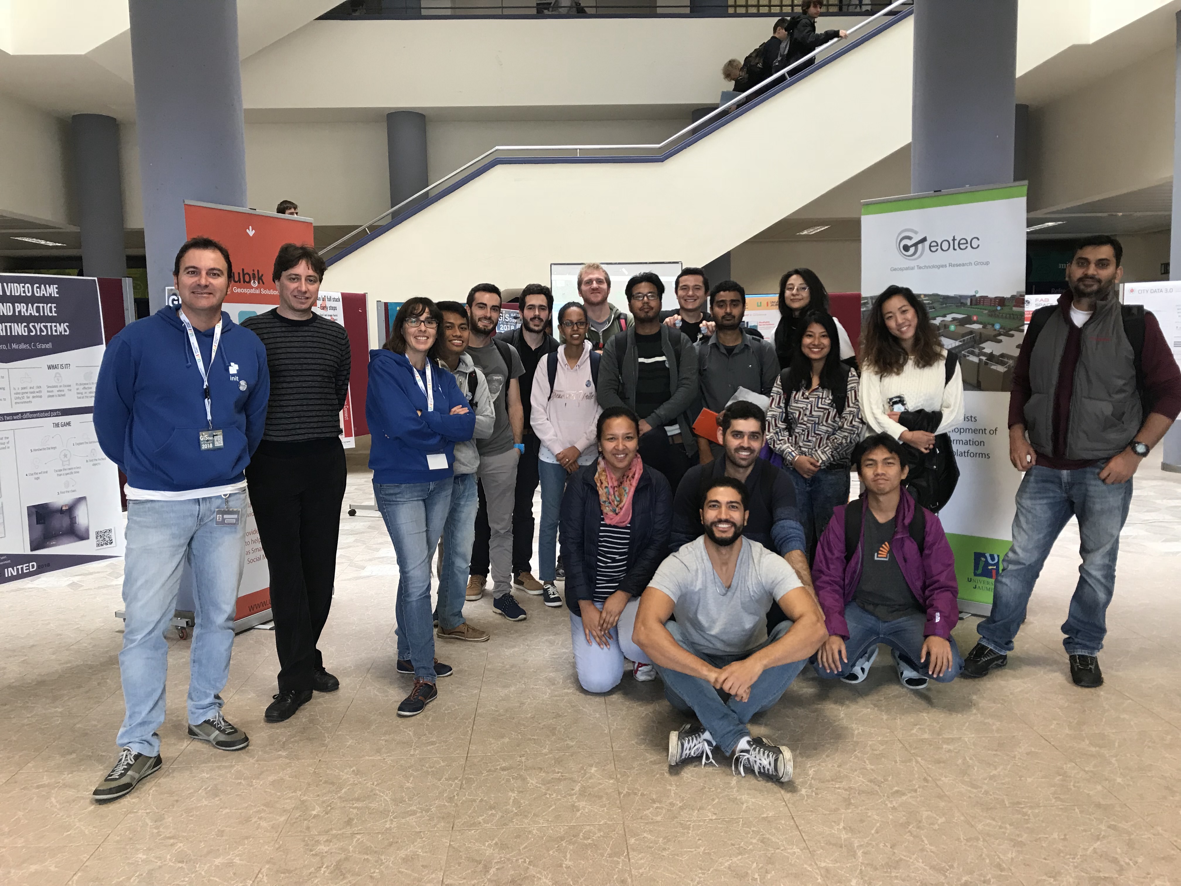
Mapathon ended by thanking all the participants and encouraging them to contribute in OSM later in upcoming days as well as highlighting the importance of maps during a disaster. All the participants were delighted to contribute and be a part of the mapathon. The mapathon was ended by taking a group photo and some cookies.