Yearly Archives: 2018
Mar 14
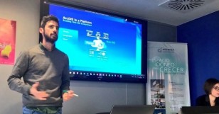
@ESRI_SPAIN WORKSHOP ABOUT #BIGDATA , #ARCGIS #ML AND MUCH MORE
- posted by Geotech Master
- in Sin categoría
- 0 Comments
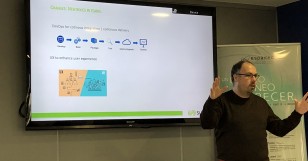
From February 21th to 22th, at Jaume I University – Castellon de la Plana (Spain) a set of courses were held by Esri Spain. Workshop’s main topics were about detecting spatial patterns, analyzing big data and applying ML with ArcGIS platform. During two days over 20 students – from the Geo-C project and Mastergeotech students […]
Read moreMar 12
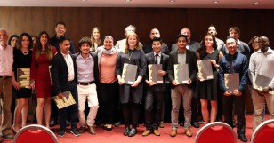
9th of March 2018: Graduation Ceremony
- posted by Geotech Master
- in Sin categoría
- 0 Comments
Last Friday, 9th of March 2018, the graduation ceremony of our Erasmus Mundus Master in Geospatial Technologies <http://mastergeotech.uji.es> took place in Hotel Luz, Castellón. This year’s celebration was particularly festive, as we were celebrating the 10th year anniversary of our master, which is jointly organised between UJI (GEOTEC), Westfälische Wilhelms-Universität Münster and Universidade Nova de […]
Read moreMar 09
2018 Master Thesis defenses at Castellón (Spain)
- posted by geoadmin
- in Sin categoría
- 0 Comments
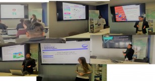
Last week Master students who did their third semester at UJI defended their thesis in Castellón. Ditsuhi Iskandaryan: Visualization and visual analytics of geospatial data for psychological treatment Raquel Martín-Pozuelo Ojalbo: Spatio-Temporal Analysis of Sex-based crimes in Chicago Mahesh Thapa: Transforming texts to maps: Geovisualizing topics in texts Bikesh Twanabasu: Sentiment Analysis in GeoSocial Streams […]
Read moreFeb 28
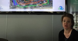
On February 21, we enjoyed the visit of Dr. Valérie Renaudin, from the French Research Institute on Transport (IFSTTAR), in Nantes, France. She leads the Geopositioning Laboratory (GEOLOC) and chairs the next IPIN 2018 conference. Dr. Renaudin gave a lecture titled “Integrating human specificities in the development of pedestrian navigation algorithms”. In the talk, Dr. […]
Read moreFeb 19
Rachel Kornak: “How to get a job in GIS: Tips for Students”
- posted by Geotech Master
- in Sin categoría
- 0 Comments
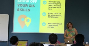
“How to get a job in GIS: Tips for Students” a talk given by Rachel Kornak on February 16th, 2018. “Want an amazing GIS job after you graduate? Learn what you can do now to stand out from the crowd. We’ll cover how to narrow down what kind of job you want, how to create […]
Read moreFeb 01
Career development session for Erasmus Mundus master: Suez Spain
- posted by geoadmin
- in Sin categoría
- 0 Comments
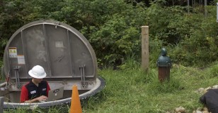
Recently (January 8th), GEOTEC hosted an industrial talk targeting our Erasmus Mundus master students and all GIS enthusiasts, given by representatives of Suez Water Spain. Suez is a multi-national company active in 5 continents, with over 80 000 employees and 400 000 clients, who mainly – but not exclusively – perform projects related to water treatment and […]
Read moreJan 30
Edward Pultar new scholar just arrived to UJI
- posted by geoadmin
- in Sin categoría
- 0 Comments
Edward founded Valarm in 2012 with his brother, Lorenzo, and friends, in order to help organizations with remote monitoring systems and Industrial IoT sensors, monitoring things like water, flood warning systems, air, noise, and wells. Pre-Valarm, he received his two Bachelor’s degrees in Geography and Computer Science (minor in Math) from the University of Utah. His […]
Read moreJan 25
Applications to scholarships now closed
- posted by geoadmin
- in Sin categoría
- 0 Comments
Dear applicants & friends, applications for our Erasmus Mundus Master was closed last January 15th, no more candidatures for scholarships are accepted. We would like to thank all the interest shown and wish you good luck. According to the selection schedule pre-slection results will be available early March. From now ’til July applications to self-paying […]
Read moreJan 12
GeoMundus conference in Münster: A great success for Erasmus Mundus students
- posted by geoadmin
- in Sin categoría
- 0 Comments
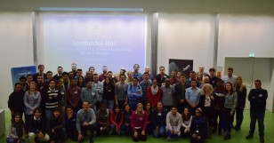
The students of the Erasmus Mundus Master of Science in Geospatial Technologies once again hosted their annual symposium with great success. The free conference took place at the Institute of Geoinformatics in Münster, Germany, on the 10th and 11th of November 2017. The over 60 attendees from all over the world included students, professionals from […]
Read moreJan 11
Ignacio Guerrero, Master scholar has just arrived
- posted by geoadmin
- in Sin categoría
- 0 Comments
UJI’s visiting professor Ignacio Guerrero has just arrived. Ignacio, with an extensive experience in GIS, is currently an Executive Consultant specializing in CTO consulting services with a focus on Geospatial Technology in Andes Geoconsulting. Ignacio will be particularly involved in teaching Remote sensing to UJI’s first semester students and will be in touch with students advising […]
Read more