Yearly Archives: 2018
Mar 14
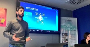
@ESRI_SPAIN WORKSHOP ABOUT #BIGDATA , #ARCGIS #ML AND MUCH MORE
- posted by Geotech Master
- in Sin categoría
- 0 Comments
From February 21th to 22th, at Jaume I University – Castellon de la Plana (Spain) a set of courses were held by Esri Spain. Workshop’s main topics were about detecting spatial patterns, analyzing big data and applying ML with ArcGIS platform. During two days over 20 students – from the Geo-C project and Mastergeotech students […]
Read moreMar 12
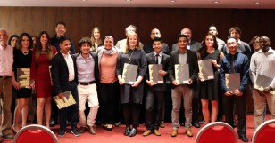
9th of March 2018: Graduation Ceremony
- posted by Geotech Master
- in Sin categoría
- 0 Comments
Last Friday, 9th of March 2018, the graduation ceremony of our Erasmus Mundus Master in Geospatial Technologies <http://mastergeotech.uji.es> took place in Hotel Luz, Castellón. This year’s celebration was particularly festive, as we were celebrating the 10th year anniversary of our master, which is jointly organised between UJI (GEOTEC), Westfälische Wilhelms-Universität Münster and Universidade Nova de […]
Read moreFeb 28
On February 21, we enjoyed the visit of Dr. Valérie Renaudin, from the French Research Institute on Transport (IFSTTAR), in Nantes, France. She leads the Geopositioning Laboratory (GEOLOC) and chairs the next IPIN 2018 conference. Dr. Renaudin gave a lecture titled “Integrating human specificities in the development of pedestrian navigation algorithms”. In the talk, Dr. […]
Read moreFeb 19
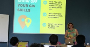
Rachel Kornak: “How to get a job in GIS: Tips for Students”
- posted by Geotech Master
- in Sin categoría
- 0 Comments
“How to get a job in GIS: Tips for Students” a talk given by Rachel Kornak on February 16th, 2018. “Want an amazing GIS job after you graduate? Learn what you can do now to stand out from the crowd. We’ll cover how to narrow down what kind of job you want, how to create […]
Read more


