Masters students visit to FACSA

Oct 29
- posted by geoadmin
- in Last news, Sin categoría
- 0 Comments
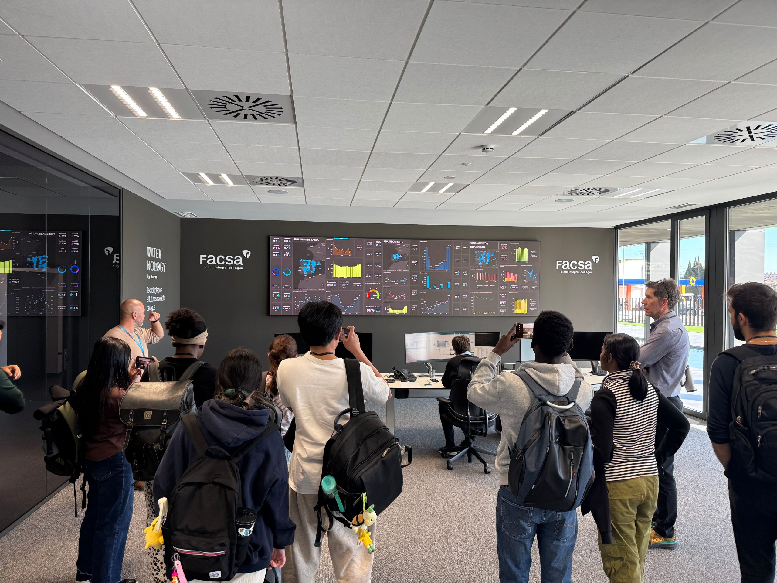
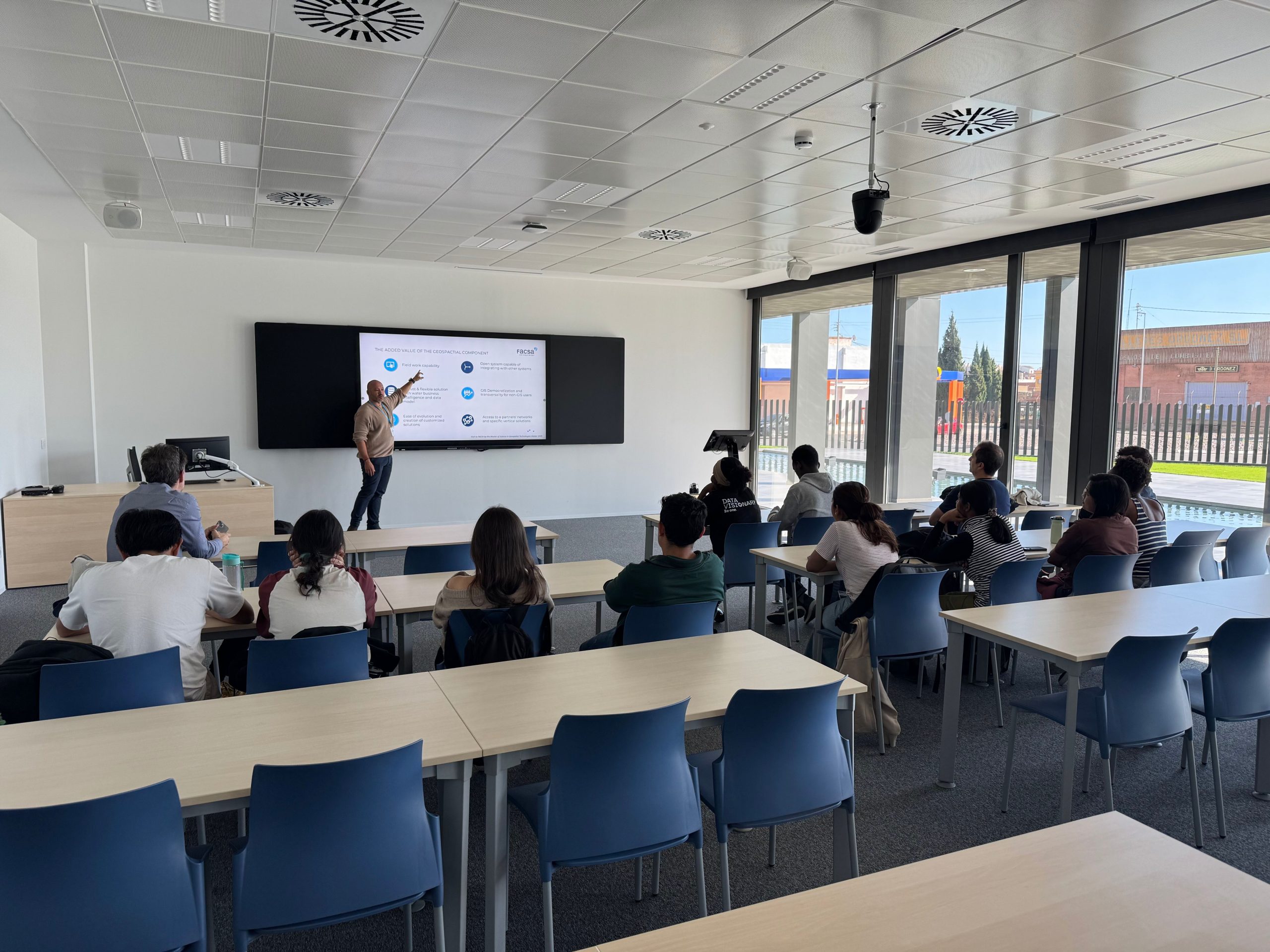
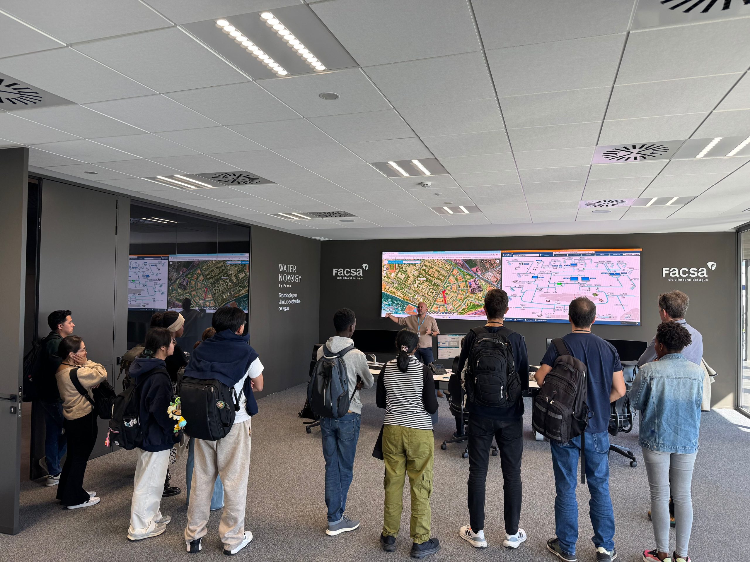
On October 28 the UJI students from the Master in Geospatial Technologies visited FACSA, a large water company headquartered in Castellón but serving customers in many towns and cities across Spain. FACSA has been using GIS to enhance productivity since 1996 but in recent years they modernized and spread GIS applications to more than 450 users across the company. A key person responsible for maintaining and growing the enterprise GIS is Joan Pere Avariento, who joined FACSA in 2020 and in fact is a 2013 graduate from the same Geotech Master !! Joan showed how the FACSA GIS applications are integrated with many other information systems–from SAP business systems down to SCADA and realtime sensor systems– and how the maturing GIS is now becoming the hub that unites many of these systems, using location as the common key.
Students also saw the control room where FACSA staff constantly monitor wells, pumps, reservoirs, distribution, and warning sensors among other things, in addition to dozens of company KPIs, or key performance indicators, on a huge dashboard.
The company, and Joan Pere, were featured by the GIS leader Esri in a recent success story: https://www.esri.com/en-us/industries/blog/articles/facsas-gis-journey-from-paper-maps-to-a-spatial-digital-twin
It was a pleasure to be able to show the students an enterprise GIS implementation right here in downtown Castellón.