Why Americans Choose to Study Geospatial Technologies in Europe
May 21
- posted by geoadmin
- in Sin categoría
- 0 Comments
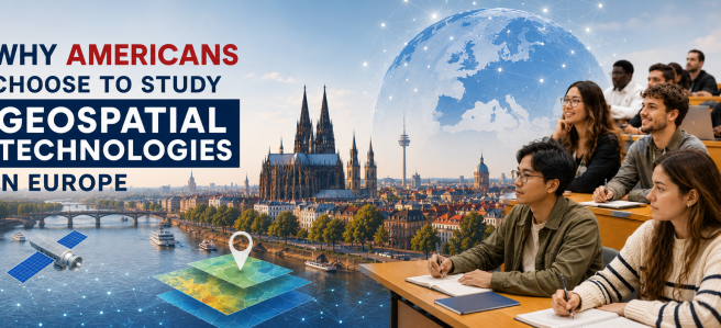
What if your master’s degree took you across three countries, connected you to a global network of researchers and practitioners, and cost a fraction of what you would pay at home? For students of the Erasmus Mundus Master of Science in Geospatial Technologies, that’s not a hypothetical but a reality.
Across the globe, the demand for geospatial professionals is steadily growing and finding its way into diverse sectors such as marketing, environmental consulting, healthcare and beyond. Students entering the geospatial domain today step into a cross-disciplinary field that is at the vital intersection of high-tech innovation, sustainability and global development. By bridging the gap between raw data and real-world places, these professionals have become essential to how we navigate the challenges of a rapidly changing data-driven world.
Every year ambitious students from across the globe gather in Europe to study the prestigious Erasmus Mundus Master of Science in Geospatial Technologies, a qualification jointly offered by Universitat Jaume I in Spain, Universidade Nova de Lisboa in Portugal, and Universität Münster in Germany. The study programme, which runs for 18 months offers a unique perspective and insight into cutting-edge Geospatial Technologies across Spain, Portugal and Germany, and for almost two decades, it has been a cornerstone of geospatial education.
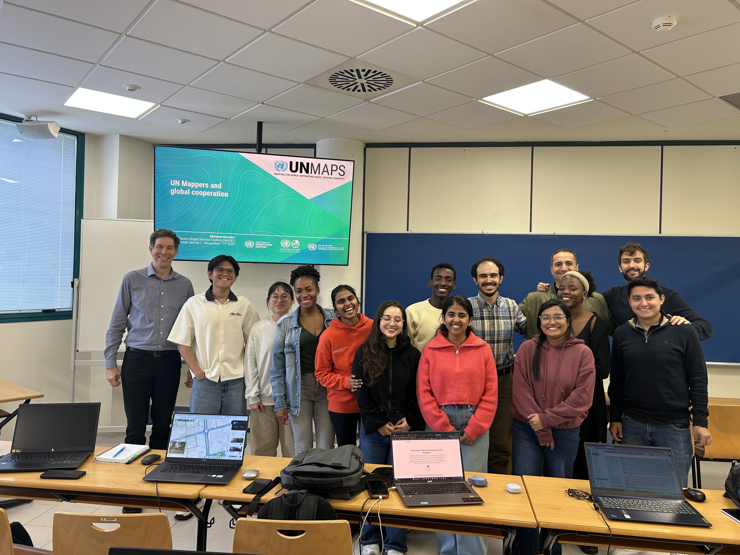
Innovation happens at the intersection of disciplines, and course content is designed to give students the tools to tackle real-world problems in our data-driven, technologically dynamic society. Students learn about GeoAI: the application of AI to geospatial problem- solving, alongside computer science, spatial data science, geostatistics, project management, and more.
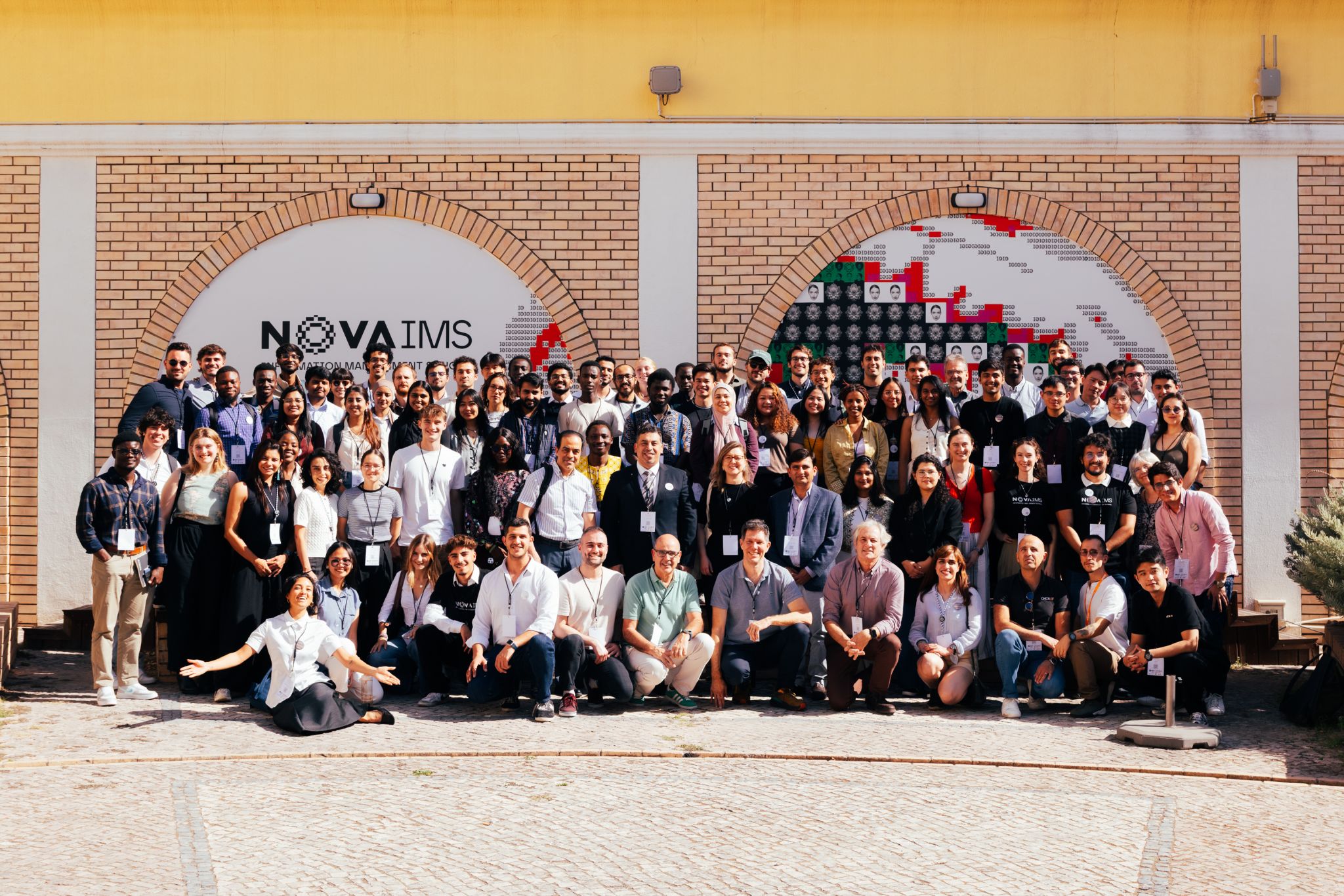
In addition to the rich academic content, students are afforded the unique opportunity to practice their project management skills and organise the Geomundus conference, a free annual international conference organised by students for students. Open to experts, researchers, professionals, and policymakers from around the world, the conference has been held annually since 2009, rotating between the three partner universities in Lisbon, Münster, and Castellón. Previous speakers include Michael F. Goodchild, Ilse Aben, and Qiusheng Wu, among many other distinguished GIS experts. For students, organising an event of this scale, securing sponsors, managing speakers and coordinating across international teams provides valuable professional development that cannot be replicated in a traditional classroom setting.
For many American students, the Master became a definitive stepping stone that launched their careers, elevating them to the next level. Alumni consistently note that the degree provided exceptional value at an accessible price point. While a master’s degree of similar calibre in the United States may cost between $20,000 and $50,000 excluding living expenses, the MSc in Geospatial Technologies offers world-class education, backed by the European Union and accredited by three internationally recognised institutions, at a fraction of that cost.
The programme’s reputation is built on more than its curriculum, and for many alumni, the experience extended far beyond the classroom. Below, our previous students from the United States of America share how the programme shaped their journeys:
Voices from the USA Alumni Network
“I found the Geotech Master after a few years of searching for a GIS program that would challenge me, be financially attainable, and provide access to a network of GIS alumni”
Joshua Bradford Hoff (USA)
“The biggest benefit has been meeting so many different kinds of people and forming connections that never would have happened if I had stayed in California”
Justin Chung (USA)
“The program was large enough that there were many voices to hear from, but small enough that we all got to know fellow students and our professors extremely well.”
K. Challinor (USA)
“Being nearly a decade older than the majority of my peers was especially challenging. The program gifted me with immersion: we studied, played, cried, laughed, struggled, celebrated and we LEARNED. We GREW!”
Sarah Eason (USA)
These testimonials offer a glimpse into how the Master of Science in Geospatial has served as a life-changing academic, professional and cultural journey for hundreds of students from all around the world. Our graduates go on to careers in academia and industry, with many continuing on to PhD programs and advanced research positions internationally. They work in fields such as peacekeeping, spatial data science, environmental consulting, remote sensing, urban analytics, resource management, and geospatial research worldwide. Now, once again, the doors are open. We invite professionals, students, and adventure seekers alike to journey across Europe, live and learn together, and immerse themselves in the exciting future of geospatial technologies.