Blog Archives
Dec 11
UJI Master’s Students Named UN Mappers of the Month – December 2025
- posted by geoadmin
- in Last news, Sin categoría
- 0 Comments
Since 2022, UJI has collaborated with the UN Mappers Team to introduce students to OpenStreetMap, open data, and open-source geospatial tools, alongside dedicated UN Maps training sessions. These activities allow students to engage directly with real UN use cases, gaining hands-on experience in collaborative mapping, data quality, and field-to-office workflows. The most recent training, held […]
Read moreNov 14
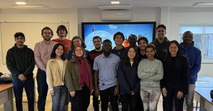
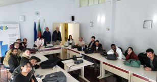
On 11-12 November, UN Mappers conducted an Open Street Map training with the students at the Universitat Jaume I.
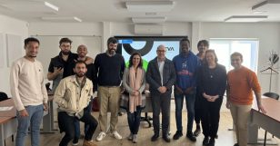
Read morePitch day for the GROW (Goals Requisites Opportunity Win) course at NOVAIMS.Thanks to Professor Rute Silva for her commitment.
Read moreJan 23
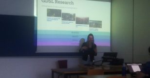
Guest speaker Carmen Cabrera-Arnau, lecturer in Geographic Data Science at the University of Liverpool’s Geographic Data Science Lab (GDSL), visited UJI in the realm of the Data Science module. Carmen told the students about GDSL’s research topics and gave a practical workshop on space networks. .
Read moreDec 06
On December 3 and 4 Michael Montani from the United Nations gave a training course to the UJI master students. The course included: OSM, mastery of JOSM, analysis of the geographical context and opendata usage.
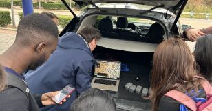
Read moreProfessor Ionut Sandric, from the Faculty of Geography, University of Bucharest visited Universitat Jaume I last week to teach a course on UAVs to our master students at Universitat Jaume I, students were very excited to apply UAV technology to both academic and practical challenges and enjoyed the outdoor practical sessions.
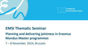
Read moreThe Erasmus Mundus Support Initiative (EMSI), an initiative of the European Commission, has organized a Thematic Seminar on “Planning and delivering jointness in Erasmus Mundus Master programmes”. Approx. 70 experienced academics and administrative staff from Erasmus Mundus Master Programmes, and approx. 20 representatives of the European Commission’s Executive Agency for the Erasmus Mundus Programme EACEA […]
Read moreOn February 19th Master of Science in Geospatial Technologies students successfully finished an Entrepreneurship Workshop with a final pitch about an idea for a company. Congratulations to all.
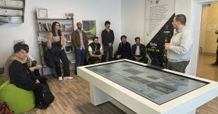
Read moreFirst year students at NOVA IMS visited on February 15 the NOVA Urban Analytics Lab where they got acquainted with research projects for smart cities and regions.
Read moreJan 29
DGT visit at NOVA
- posted by geoadmin
- in Sin categoría
- 0 Comments
On January 29th, students at NOVAIMS visited the DGT (General Directorate for Land). The visite included talks and demos on: the National Spatial Data Infrastructure (SNIG); national cartographic database; national system for land monitoring (SMOS); built-up areas and rural-urban interface; the National System for Territorial Information (SNIT); and exploration of cadastral information on the National […]
Read more