Category Archives: Last news
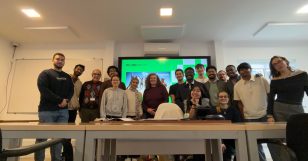
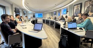
Pitch day for the GROW (Goals Requisites Opportunity Win) course. Great student presentations. Thanks to Professor Rute Silva for her commitment.
Read moreDec 11
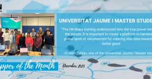
UJI Master’s Students Named UN Mappers of the Month – December 2025
- posted by geoadmin
- in Last news, Sin categoría
- 0 Comments
Since 2022, UJI has collaborated with the UN Mappers Team to introduce students to OpenStreetMap, open data, and open-source geospatial tools, alongside dedicated UN Maps training sessions. These activities allow students to engage directly with real UN use cases, gaining hands-on experience in collaborative mapping, data quality, and field-to-office workflows. The most recent training, held […]
Read moreLast Friday, November 29, we volunteered to take care of a young forest in the City of Oeiras. Here are a few moments that capture our contribution.
Read moreNov 14
On 11-12 November, UN Mappers conducted an Open Street Map training with the students at the Universitat Jaume I.
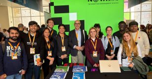
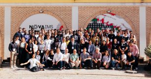
Read moreNOVA students and alumni visited the Esri Portugal users conference 2025. They stopped by the NOVA IMS booth for socialising and taking a picture.
Read moreOct 29
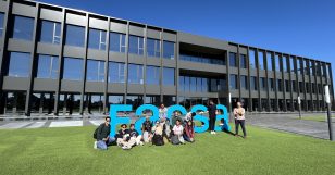
Masters students visit to FACSA
- posted by geoadmin
- in Last news, Sin categoría
- 0 Comments
On October 28 the UJI students from the Master in Geospatial Technologies visited FACSA, a large water company headquartered in Castellón but serving customers in many towns and cities across Spain. FACSA has been using GIS to enhance productivity since 1996 but in recent years they modernized and spread GIS applications to more than 450 […]
Read moreOct 23
Geomundus 2025 in Lisbon
- posted by geoadmin
- in Last news, Sin categoría
- 0 Comments
Yet another very successful Geomundus. The 17th edition of the annual Geomundus conference took place at NOVAIMS on October 17 and 18. More than a hundred people got together to learn and share ideas and knowledge on Geographic Information. We thank the student organisers for a very well done job. Prior to the conference the […]
Read moreSep 08
Great Start for the 2025 Geospatial Technologies Cohort
- posted by geoadmin
- in Last news, Sin categoría
- 0 Comments
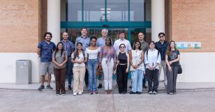
The Erasmus Mundus Master in Geospatial Technologies has held the welcome session for the new edition of the program at Universitat Jaume I and NOVA University Lisbon. NOVA University Lisbon Universitat Jaume I
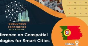
Read moreWe are proud to officially unveil the 17th edition of the GeoMundus Conference, happening this year in Lisbon, Portugal. Join us as we spotlight the power of Geospatial Technologies, Geoinformatics, and GI Applications under the theme:“Geospatial Technologies for Smart Cities” Save the Dates: 17 & 18 October 2025Location: NOVA IMS, Portugal 🇵🇹 GeoMundus is a […]
Read moreFebruary 28 marked the end of journey for the second year students and the end of the semester for the first year students. Students, faculty and staff commemorated the event with an end of semester dinner party.
Read more